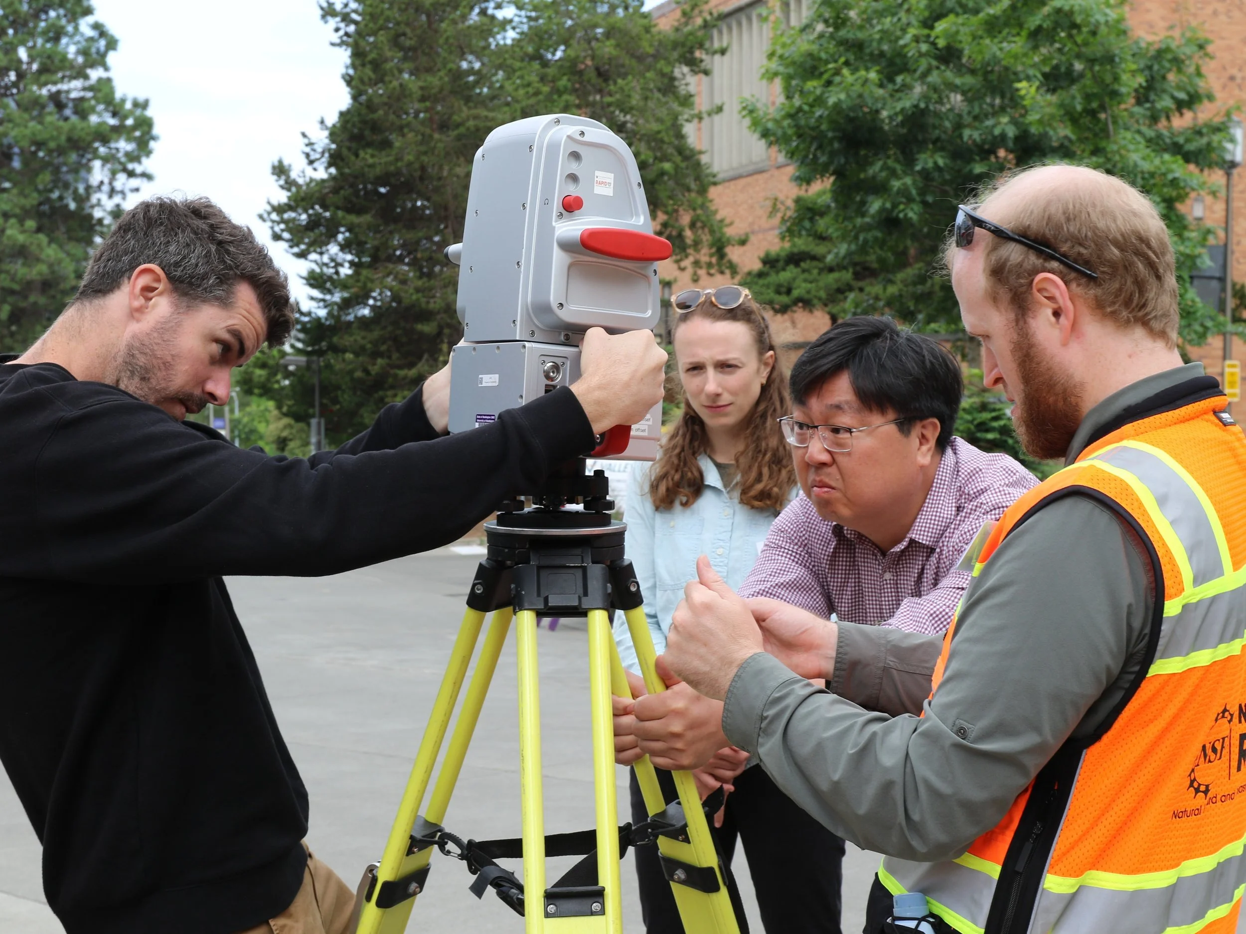
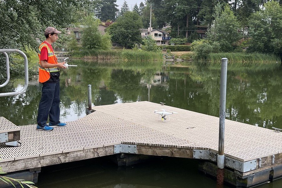
The RAPID Facility
The RAPID Facility enables transformative research by providing investigators with the resources, software, and support needed to collect, process, and analyze perishable data from natural hazard events and disasters.
Learn more

RAPID Training
The RAPID Facility trains investigators to use state-of-the-art reconnaissance resources. Our popular one-week hands-on training takes place in July at our headquarters at the University of Washington in Seattle.
Learn more

Science Plan
The RAPID Facility's Science Plan emphasizes acquiring and integrating data across disciplines over a range of temporal, spatial, and social scales. The Science Plan is published in an open-access article.
Read the article
The RAPID Facility provides researchers with state-of-the-art reconnaissance instrumentation and technical expertise to collect critical disaster data, informing science, engineering and policy to strengthen community resilience.
Featured


Featured