of maps & digital twins

We believe that data transparency has the power to transform how businesses operate, make decisions, and engage with stakeholders—ultimately leading to better outcomes for all.
Our solutions are designed to help your organisation harness the full potential of spatial data, driving efficiency, innovation, and profitability.
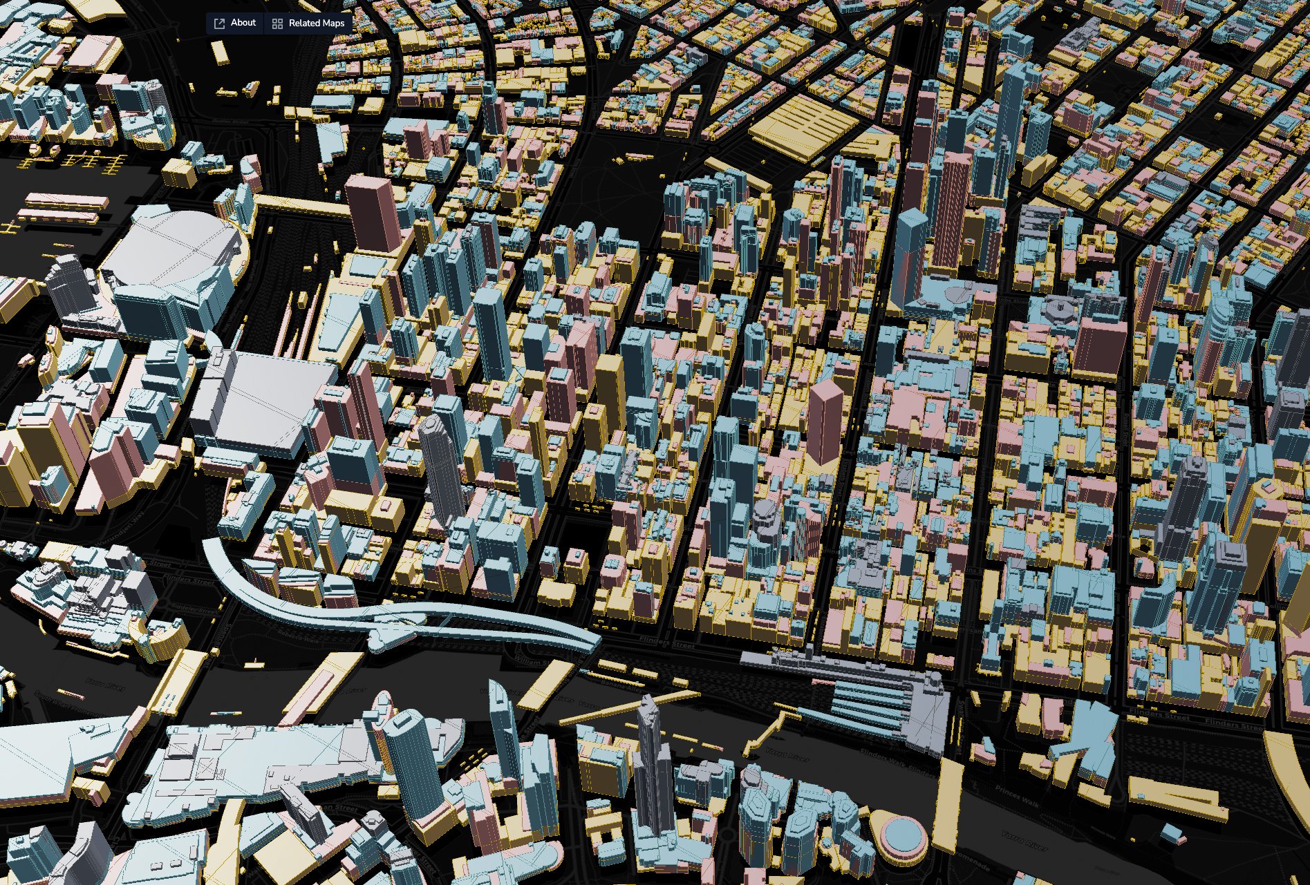
Digital Twin Case study: WT Australia - Planning for new skyscraper development in Melbourne CBD
FEATURES
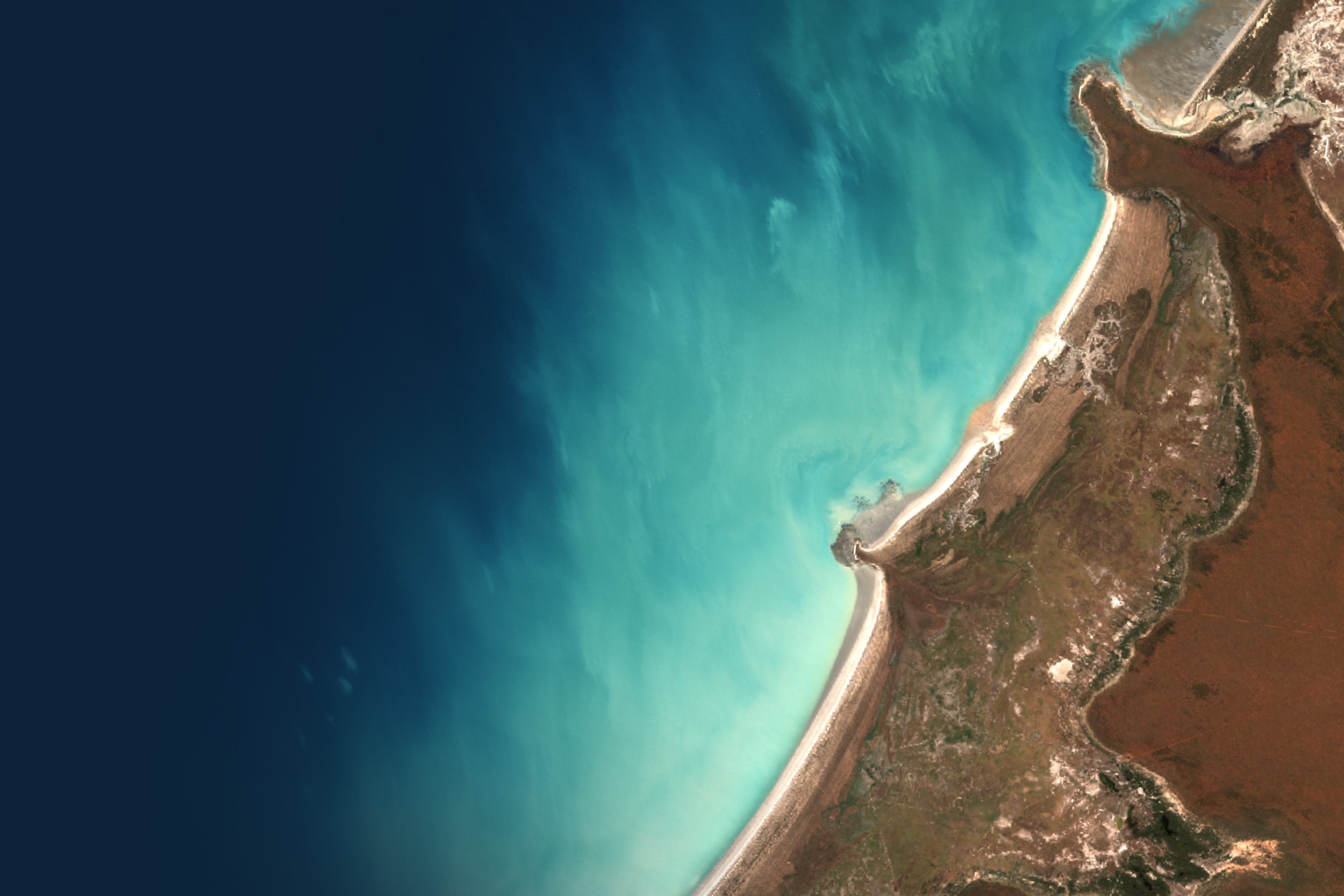
Experience data like never before with immersive 3D terrain and cutting-edge 4D time-based visualizations. Dive into dynamic, interactive environments that bring complex datasets to life, making exploration and insights more engaging than ever!
See also: Live Data Catalogues, Data Stories, Charts and many more features

Access spatial data effortlessly in one place, perfect for work or a passion project.
Terria makes it easy to find the data you need, all in one place. Unlock the power of advanced maps and digital twins without the technical complexity.
Benefits
Instant access to diverse datasets in one place
No more searching across multiple websites
Easy-to-use tools for quick insights
Advance urban development, infrastructure, energy and environmental projects.
Use Terria’s Data Catalogue and tools to bring your vision to life through actionable insights. Make smarter decisions, reduce risk, and save valuable time.
Benefits
Ready-to-use data that meet your project needs.
Intuitive design and tools lets you create maps and digital twins faster
Suitable for teams and organisations of any size.
Build robust, scalable geospatial applications faster with TerriaJS.
With our trusted open-source framework - TerriaJS - you have the power to easily build and customise interactive maps and geospatial solutions.
Benefits
Open source software with rich features suitable for both 2D and 3D
Connects thousands of data formats, web services and data portals
Easily customisable
FEATURES
Unlock powerful insights with our comparison tools! Easily see changes over time or across locations by using the image splitter and date picker. Perfect for side-by-side comparisons that reveal trends and differences in your data—try it today and see the full story your data tells!
See also: Live data catalogues, Data Stories and many more.
Our shared goal was to make geospatial data available to the public and easier to consume. Throughout our journey, we stayed true to our belief in open source, open data, and transparency, both within our team and with our collaborators and partners.
Explore how Terria is being used by professionals and organisations around the world.
Discover how an ecosystem of digital twins optimise digital delivery of infrastructure.
Discover how Renewable Energy consultants are using Terria to transform client engagement on remote projects.
Discover how Quantity Surveying teams are using Terria to revolutionise cost modelling for the construction industry.

Be the first to hear about product releases, news and insights
FEATURES
Turn data into captivating visual narratives with interactive data stories that command attention. Transform complex information into compelling experiences, making every insight unforgettable and driving deeper engagement!

Whether you’re a professional, data explorer or developer, our flexible plans and personalised services are designed to meet your specific needs.


